


2008 Wetland Map
Upload file:
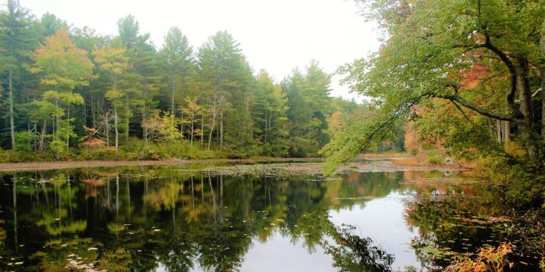
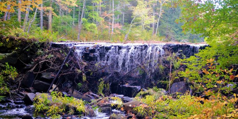
This map displays the various wetlands located around Sandown NH in correlation with the 2008 wetland evaluation report. This map was created in 2008** by West Environmental.
**Please note this is not up to date and wetland locations may have changed since the maps creation. We encourage all people who believe they have wetlands on their property to have their property delineated by a NH Certified Wetland Scientist. For more information relating to wetlands please visit https://www.des.nh.gov/